Know the Rules/Fishing Regulations/Marine Managed Areas/Hawai‘i Marine Life Conservation Districts/Kealakekua Bay

Hawai‘i - Kealakekua Bay Marine Life Conservation District (MLCD)

Style A Carousel

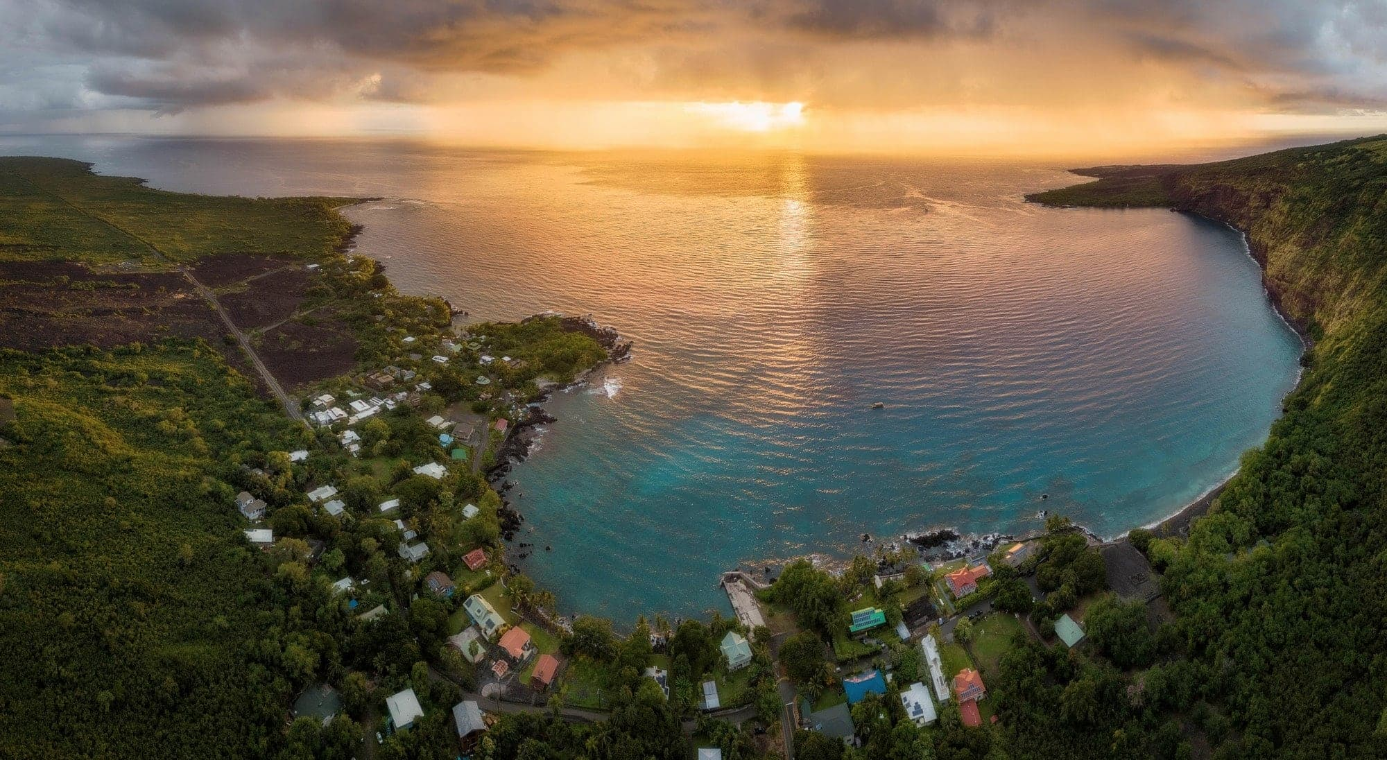
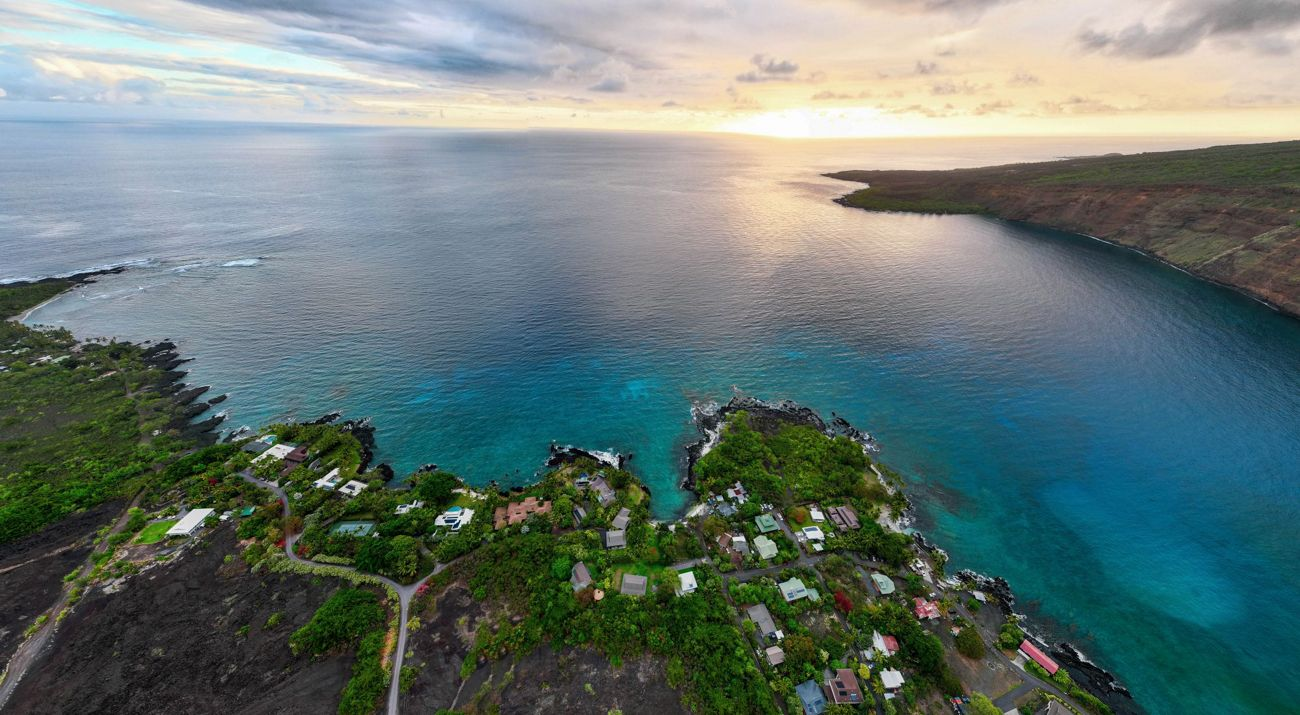
Located on the west coast of Hawai‘i Island near the village of Captain Cook, Kealakekua Bay is one of the most historically and biologically significant bays in the state. The bay lies about 13 miles south of Kailua‑Kona, with vehicle access available only to the Nāpō‘opo‘o Beach area along the bay’s eastern shoreline.

MLCD Boundaries

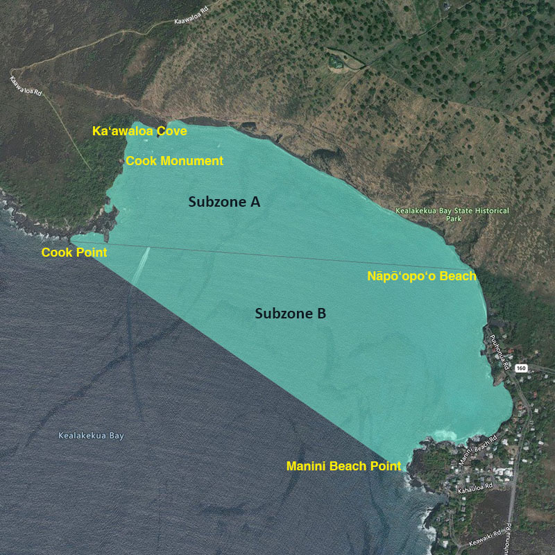
The Kealakekua Bay MLCD extends from the highwater mark seaward to a line running from Cook Point to Manini Beach Point.

Another line from Cook Point to the north end of Nāpō‘opo‘o Beach divides the district into:

  • Subzone A – Northern portion, including Ka‘awaloa Cove
  • Subzone B – Southern portion, including Nāpō‘opo‘o

Each subzone has its own regulations designed to protect sensitive habitats.

Kealakekua Bay MLCD

Natural & Cultural Significance

Kealakekua Bay is renowned for its pristine waters and extraordinary marine biodiversity. Sheer sea cliffs along the northern shoreline—Pali Kapu o Keōua—are marked with numerous lava tubes, some of which are sacred Hawaiian burial sites.

The bay also holds deep cultural and historical importance. British explorer Captain James Cook arrived here in 1779 and was initially welcomed with great honor. However, a month later, he was killed during a conflict between his crew and local Hawaiians in Ka‘awaloa Cove. A 27‑foot monument, erected in 1878, stands near the site of his death, along with the ruins of the ancient village of Ka‘awaloa nearby.

Marine Environment

Northern Pali & Ka‘awaloa Cove (Subzone A)

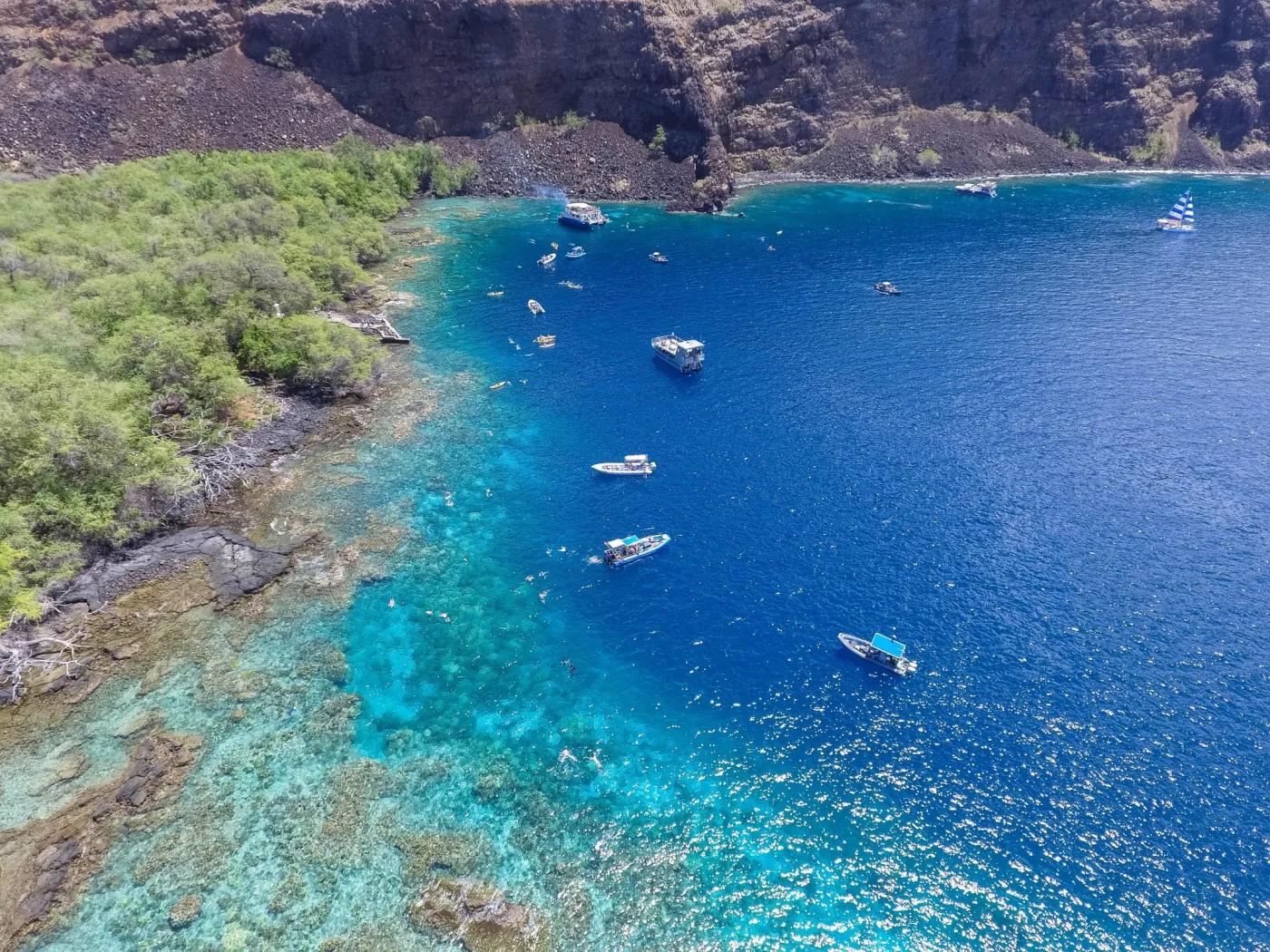
The northeastern coastline below the pali offers excellent snorkeling in calm conditions, with:

  • Abundant coral growth
  • Rich marine life in water as shallow as 5 feet

The best diving in the entire bay is found in Ka‘awaloa Cove, where depths range from 5 to 120 feet. Here, coral diversity is exceptional, fish are unusually tame, and underwater visibility is often outstanding.


Dolphins frequently visit and rest inside the bay.
Safety Considerations

Conditions can become hazardous during:

  • Southern (Kona) storms
  • High surf events

However, Ka‘awaloa Cove is typically calmer than other areas.

There are no lifeguards on duty at Nāpō‘opo‘o Beach.

Nāpō‘opo‘o (Southern Side / Subzone B)

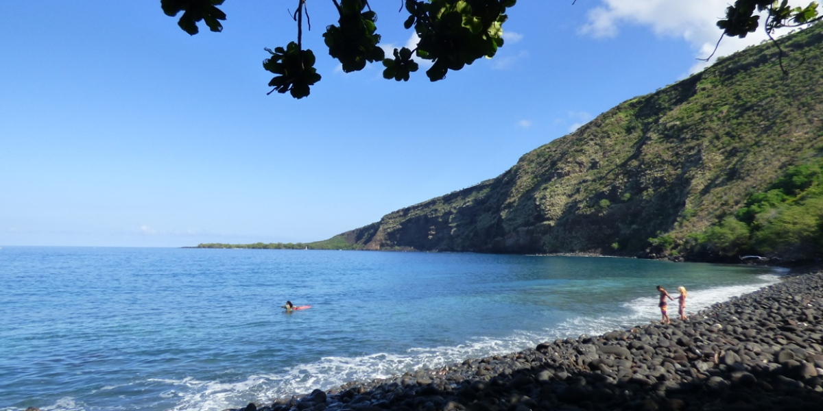
Nearshore waters are generally shallow with limited coral cover, but conditions improve farther from shore where:

  • Coral starts to increase
  • Caves and ledges become more common
  • Depths reach about 30 feet

The area between the Nāpō‘opo‘o landing and Manini Beach Point is especially scenic and diverse.

Safety Considerations

Conditions can become hazardous during:

  • Southern (kona) storms
  • High surf events

However, Ka‘awaloa Cove is typically calmer than the southern shoreline.

There are no lifeguards on duty at Nāpō‘opo‘o Beach.

5d9e5573dd042f5361751d045a082150f8de2890

Facilities

Restrooms and showers at Nāpō‘opo‘o Beach Park

Regulations

Permitted Activities

Within Subzone B only:

  • Fishing for, taking, or possessing finfish using hook‑and‑line or thrownet
  • Using any legal fishing gear (except traps) for taking akule, ‘ōpelu, and crustaceans

Within the entire MLCD:

  • Possessing a knife, shark billy, bang stick, powerhead, or CO₂ injector
  • Conducting scientific or propagation activities with a valid permit

Prohibited Activities

  • Fishing for, taking, or injuring any marine life (including eggs) except as allowed in Subzone B
  • Taking or altering sand, coral, or geological features
  • Feeding or attempting to feed fish
  • Anchoring boats in Subzone A
  • Anchoring in Subzone B except on sand or in a manner that avoids damaging coral

Want to learn more?

Explore Hawaiʻi’s Marine Managed Areas by island, including rules, boundaries, and stewardship details.

Honolua Bay
Photo: DAR